About Sittong
Sittong is an area in the Kurseong sub-division of the Darjeeling district. The area is part of a large hill so the altitude and weather vary sharply between lower and upper Sittong.
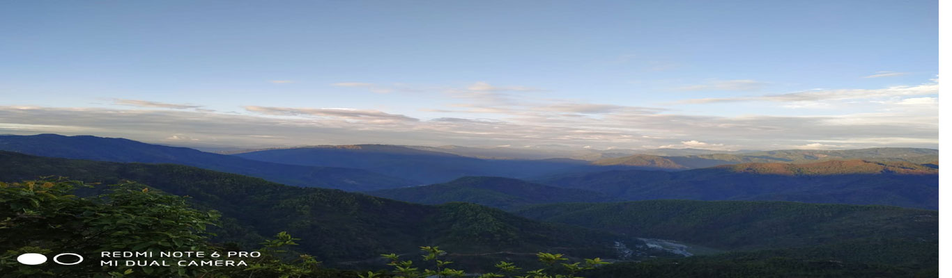
The area has come into tourism prominence in the recent past due to the great view of the surrounding snow-capped mountains from the upper ridges of Sittong, blooming orange orchards, waterfalls, river and camping grounds and the presence of Bird species.
There are four approaches to the Sittong area. One is through Kurseong. This road passes through Bagora near Kurseong on the upper cart road and from Bagora to Sittong is about 12 km. People coming from Kurseong, Darjeeling, Mirik etc should be using this route. The second route is through Sukna – Shivkhola – Mahaldiram route. This is a less-used route with beautiful tea gardens and forests on the way. The distance from Bagdogra airport to Sittong through this route is about 55 km. Few local vehicles ply this route. The third route is through Kalijhora and Latpanchar. This is the most frequently travelled route and the distance from NJP to Sittong through this route is about 50 km. The fourth and last route is through Mangpu which is just 5 km from lower Sittong. The route you choose to travel will depend upon present road conditions at the time of travel as well as your place of origin of travel.
The weather in lower Sittong is warmer by five degrees or so compared to upper Sittong. The upper ridges at Mana and Ghalaytar are at an altitude of about 4500 feet. Whereas the lower part of Sittong at Jogighat is about 2100 feet in altitude. There is a direct road passing through Sittong and the distance between the highest and the lowest point is just about 7 km.
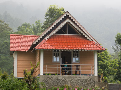
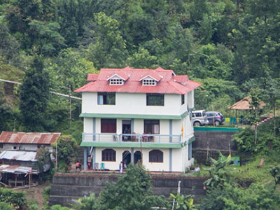
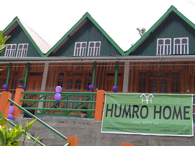
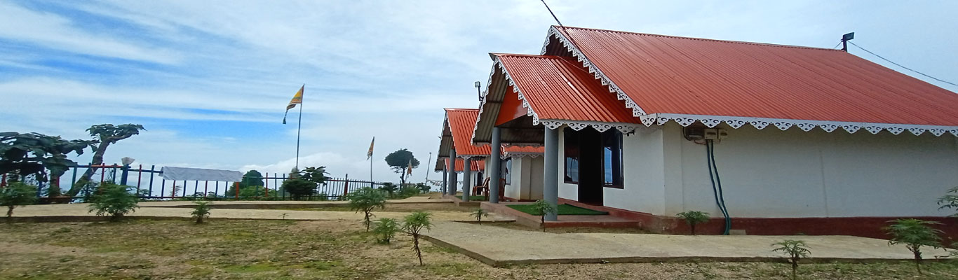
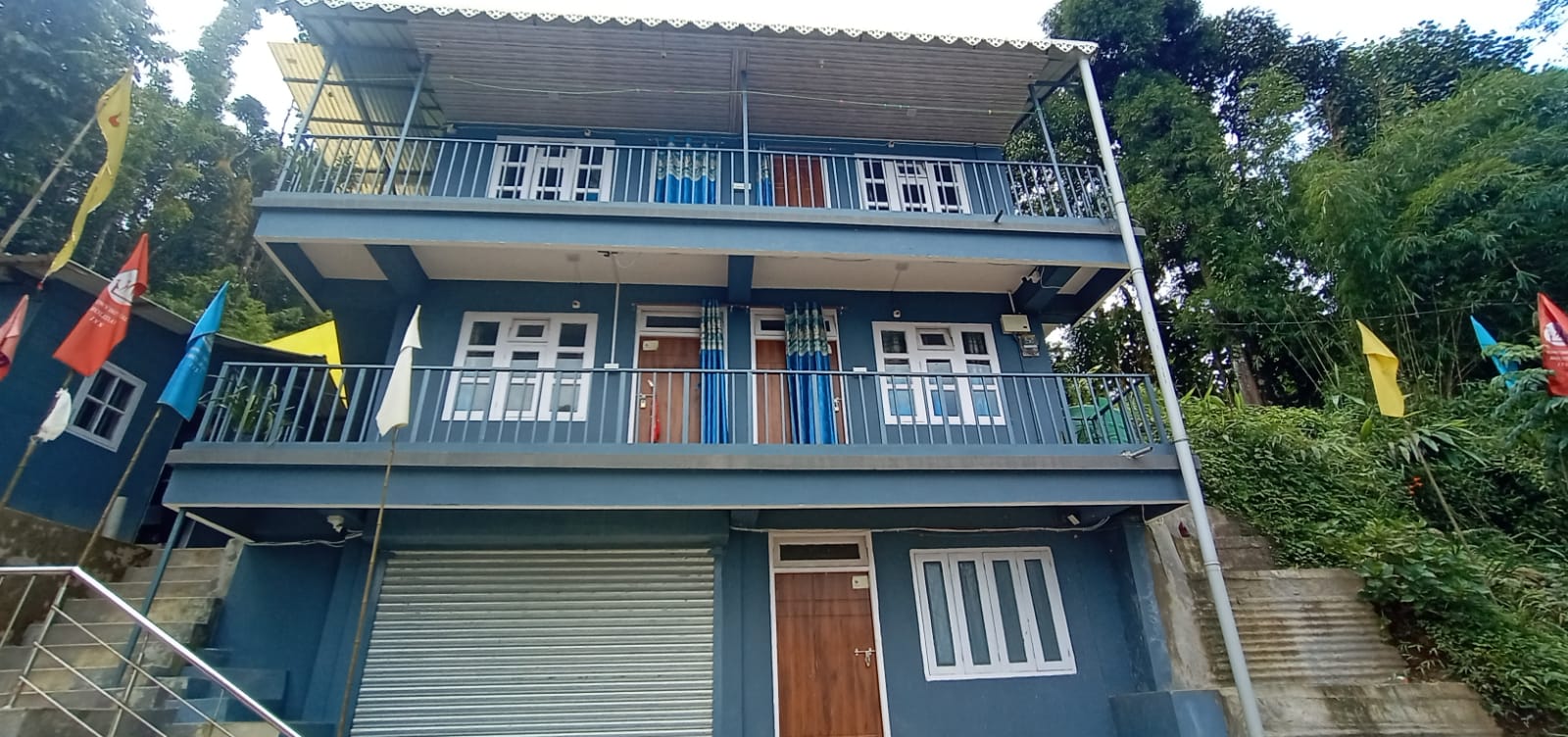
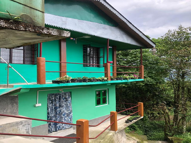
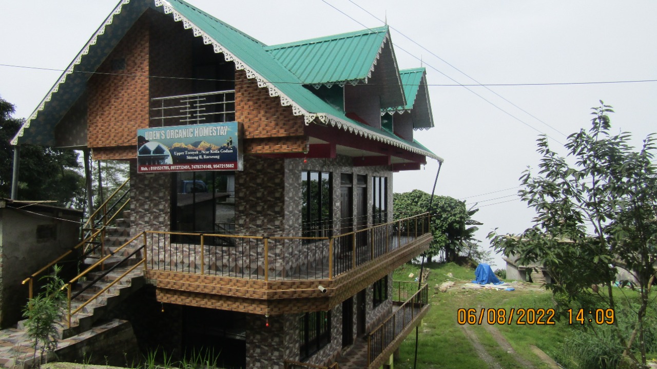
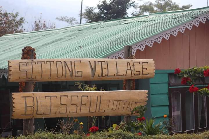
Our Properties
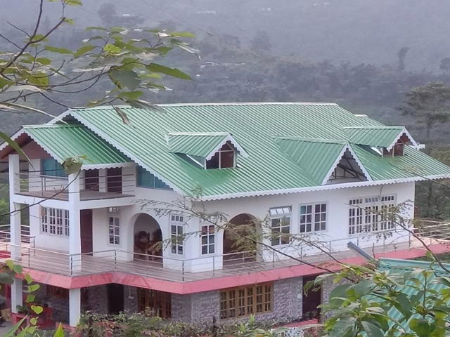
Preferred